


Professional Drone Surveying: The Future of Building Inspections
Chartered Expertise Combined with 4K Aerial Precision
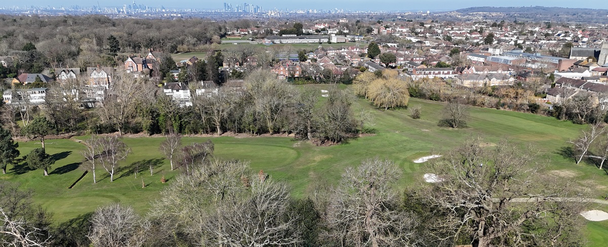
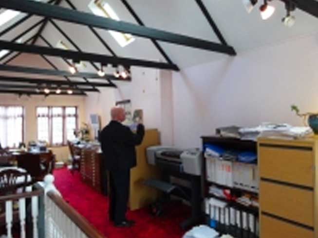
At Kellys’ Chartered Building Surveyors, we do not just fly drones; we are professional surveyors who use Unmanned Aerial Vehicle (UAV) technology to provide deeper structural insights. Specialising in the refurbishment of existing and heritage buildings, we use the DJI Phantom 4 Pro 4K to capture photographic data that traditional ground-based inspections simply cannot see.
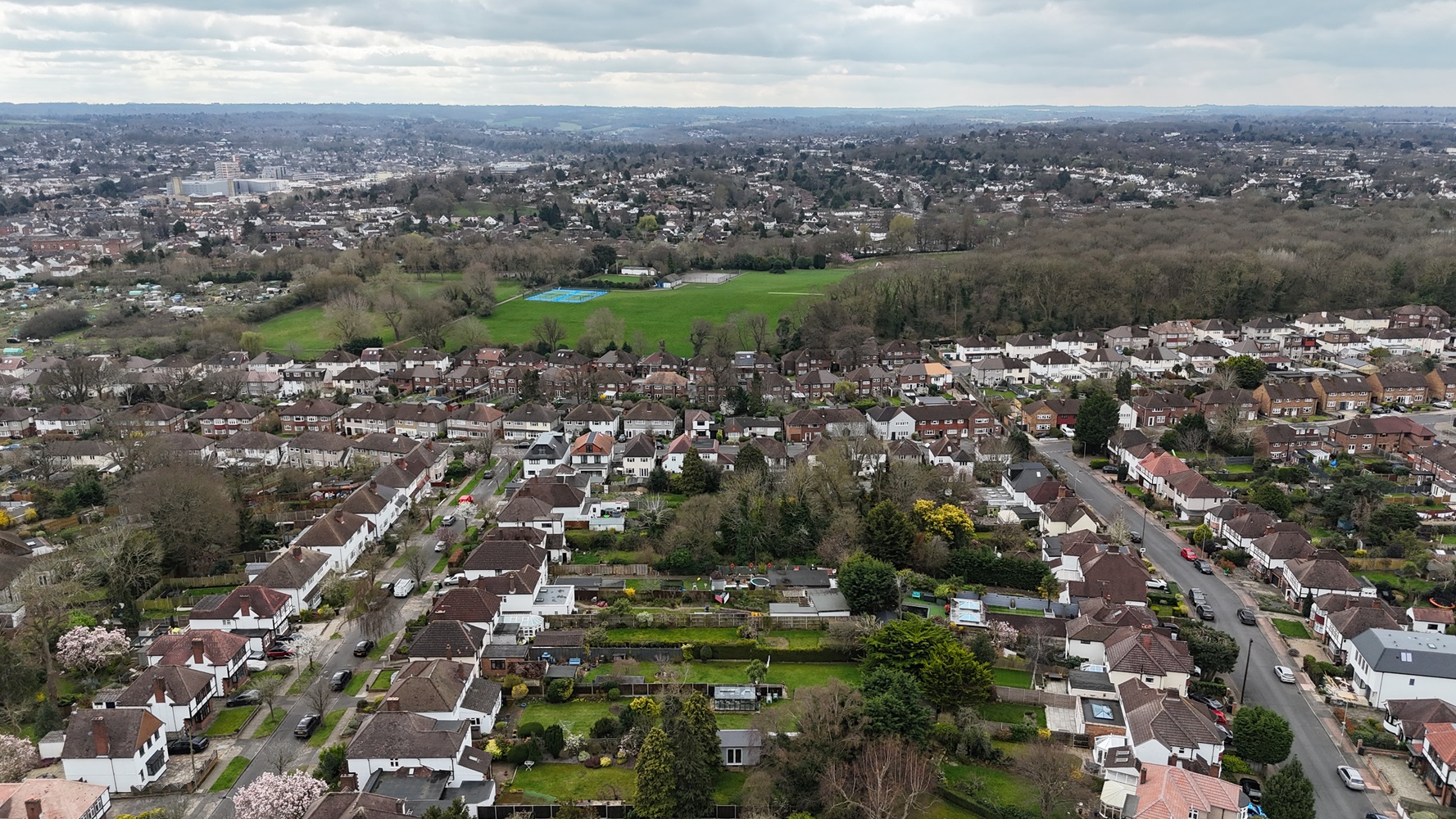
From our head office in Bromley, we serve residential and commercial clients across London, Kent and Sussex, providing a safer, faster and more detailed alternative to traditional surveying.
Why We Use the DJI Phantom 4 Pro: The Eye in the Sky
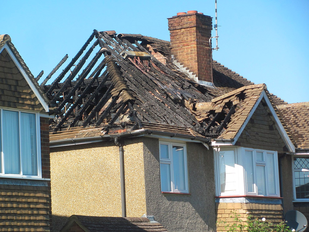
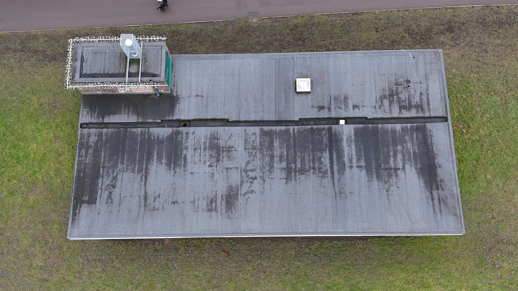
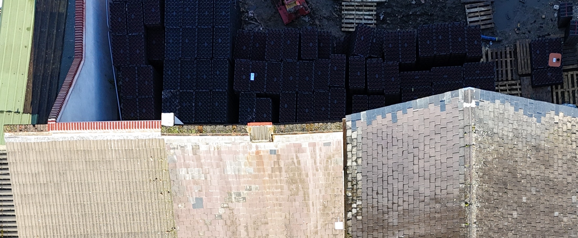
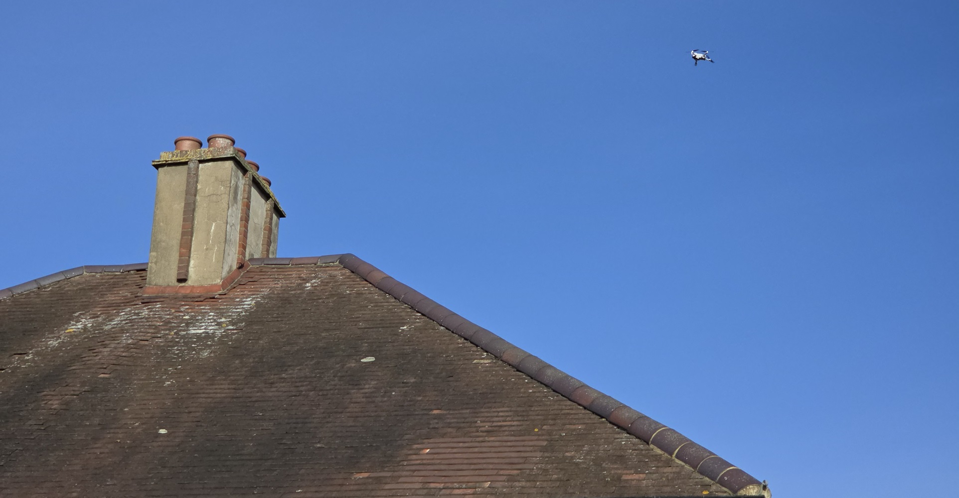
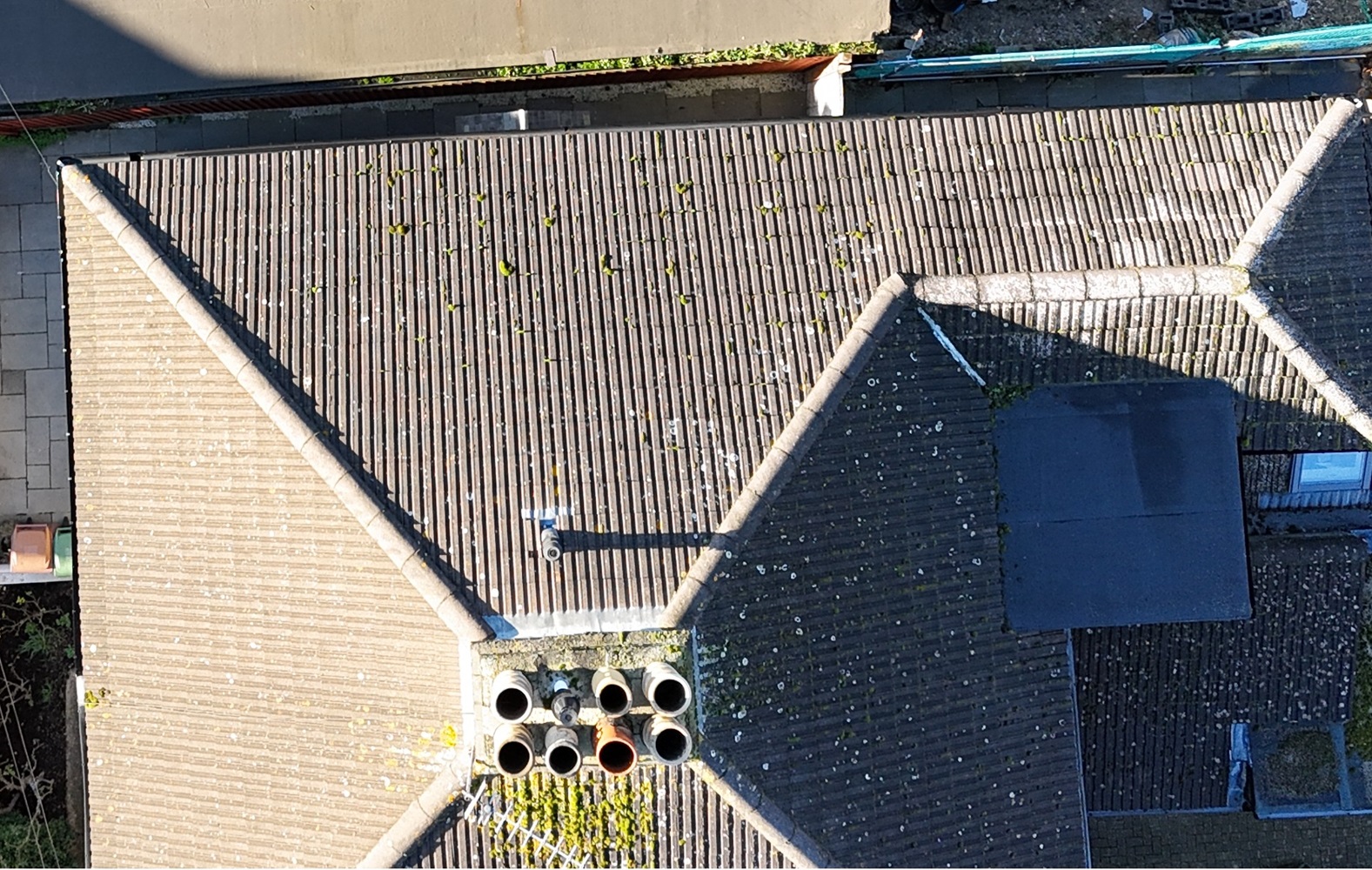
We invest in the industry-leading DJI Phantom 4 Pro to eliminate the guesswork of traditional ground-level inspections. This advanced drone acts as our eye in the sky, capturing 4K detail in hard-to-reach locations, such as high-level chimney stacks and concealed valley gutters, that would otherwise require expensive scaffolding or cherry pickers to assess.
Renowned for its safety, the Phantom 4 Pro features intelligent obstacle avoidance and GPS tracking, ensuring total stability and precision flight near your building. Flown strictly by our fully licensed and insured pilots, we combine this cutting-edge safety technology with professional surveying expertise to deliver a faster, safer, and more accurate survey.
How Drone Technology Enhances Our Specialist Services
1. Boundary Wall & Land Disputes
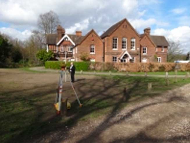
Resolving a boundary dispute requires forensic accuracy. We combine a traditional analysis of historical deeds, maps, existing structures, fence posts, and other relevant data with advanced aerial technology. The drone acts as a vital link between our analysis and the physical reality, providing an Eye in the Sky perspective that ground-level inspections simply cannot achieve.
By capturing a full, uninterrupted view of the boundary, we reveal encroachments often inaccessible from the ground. We then translate this data into precise Computer Aided Design (CAD) drawings, creating definitive, professional evidence that visually links our written report to the site conditions, essential for mediation or court.
2. Party Wall Matters (The Party Wall etc. Act 1996)
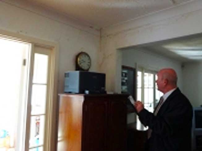
Under the Act, protecting your property and your relationship with neighbours starts with an accurate Schedule of Condition. We use our drone to capture a high-definition digital record of the adjoining property before works begin. This provides indisputable visual evidence of the roof and high-level masonry, protecting both the Building Owner and the Adjoining Owner from unfounded damage claims.
This accuracy is vital for projects involving roof works, such as taking down a shared chimney stack or repairing a parapet wall. These areas are often unseen from the ground and deemed inaccessible. By using the drone, we obtain a precise, close-up assessment of the roof coverings and masonry, ensuring the Schedule of Condition is fully comprehensive without the need for expensive scaffolding or access equipment.
3. Design, Conversions & Refurbishment
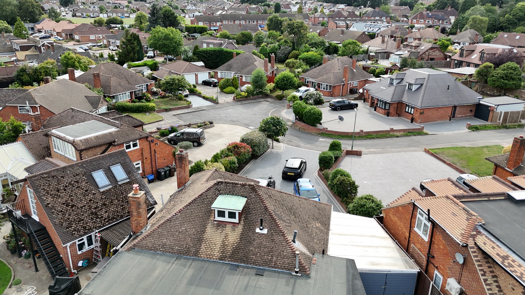
For any design, conversion, or refurbishment project, obtaining accurate site information is critical. We use our drone as an Eye in the Sky to assess the site from above, capturing clear, high-definition images of the entire plot and any existing structures that must be factored into your design. This comprehensive aerial evidence is highly beneficial for planning applications and allows us to prepare detailed architectural drawings based on the most complete information available.
Furthermore, we utilise the drone to rigorously assess the condition of the building before any works commence. By inspecting high-level areas that are invisible from the ground, we can identify critical defects, such as damaged roofing or structural issues, that must be rectified before construction starts. This proactive approach ensures your project is built on a solid foundation and prevents costly, unforeseen delays once the build is underway.
Frequently Asked Questions
Q: Are you just drone pilots, or are you qualified surveyors?
A: We are Chartered Building Surveyors regulated by the Royal Institution of Chartered Surveyors (RICS). We do not just fly drones; we combine this industry-leading professional qualification with Unmanned Aerial Vehicle (UAV) technology. This means we do not just capture images; we have the regulated expertise to interpret the image information and provide deep structural insights that a standard drone operator cannot offer.
Q: What is the main advantage of a drone survey over a traditional inspection?
A: Traditional ground-based inspections often rely on guesswork for hard-to-reach areas. Our drone surveys act as an Eye in the Sky, capturing 4K high-definition detail of high-level chimney stacks, concealed valley gutters, and roofs. This provides a safer, faster, and more detailed alternative to using ladders or binoculars.
Q: Why is a drone useful for Party Wall matters?
A: Under the Party Wall etc. Act 1996, it is vital to have an accurate Schedule of Condition before works begin. We use the drone to capture indisputable high-definition evidence of the roof and high-level masonry of adjoining properties. This protects both the Building Owner and the Neighbour from unfounded damage claims regarding areas that are usually deemed inaccessible.
Q: How can a drone help resolve a boundary dispute?
A: Resolving boundary disputes requires forensic accuracy. While ground-level inspections can often be obstructed or difficult to view clearly, our drone provides a full, uninterrupted overhead view of the boundary line. We use this accurate imagery alongside our other technical expertise, such as precise CAD drawings and comprehensive written reports. The drone image is vital for our work, helping to consolidate the report based on the evidence found and providing a definitive visual link for mediation or court.
Our Regional Coverage: Based in Bromley, Serving the South East
We are proud to operate as local Chartered Surveyors in Bromley, providing expert building and drone surveying services from our head office. While we are rooted in Bromley, our expertise extends across London, Kent, and Sussex.
Bromley & South London (Head Office)
As your dedicated Chartered Surveyors in Bromley, we possess deep local knowledge of the area's specific property types. We provide comprehensive Building Surveys, Party Wall advice, and Drone Inspections throughout the borough, including Orpington, Chislehurst, Beckenham and Petts Wood
Kent
Extending from our Bromley base, we deliver expert property surveys across Kent, covering key locations such as Sevenoaks, Tunbridge Wells, Maidstone, Tonbridge and Ashford.
Sussex
Our coverage includes East and West Sussex, where we regularly undertake inspections in Crawley, East Grinstead, Haywards Heath and Brighton.
Central & Greater London
We are experienced in navigating restricted airspace to provide professional drone surveys for residential and commercial properties throughout Central London and the wider Greater London area.
Request a Professional Drone Assessment
Stop guessing the condition of your roof or the physical line of your boundary. Get the 4K evidence you need from the experts at Kellys’. To make any form of enquiry, please complete the email form below.
Important Notice: Drone Flight Restrictions & Weather Policy
All drone inspections are subject to strict UK Civil Aviation Authority (CAA) regulations and safe weather conditions. Prior to any site visit, we conduct a comprehensive desktop feasibility study to identify any airspace restrictions (such as proximity to airports, prisons, or government buildings) that may prevent a legal flight. While we utilise advanced technology to navigate complex environments, the final decision to fly rests with the pilot-in-command on the day. Should weather conditions (high winds or rain) or unforeseen airspace restrictions prevent a safe flight, we will reschedule the survey or discuss alternative inspection methods with you.